Exact place
The precise launch area and shooting area matter more than a general city name.
This guide is for people planning aerial images and wanting a clearer overview of what needs to be checked before a real drone shoot is booked. It is intentionally practical and project-oriented.
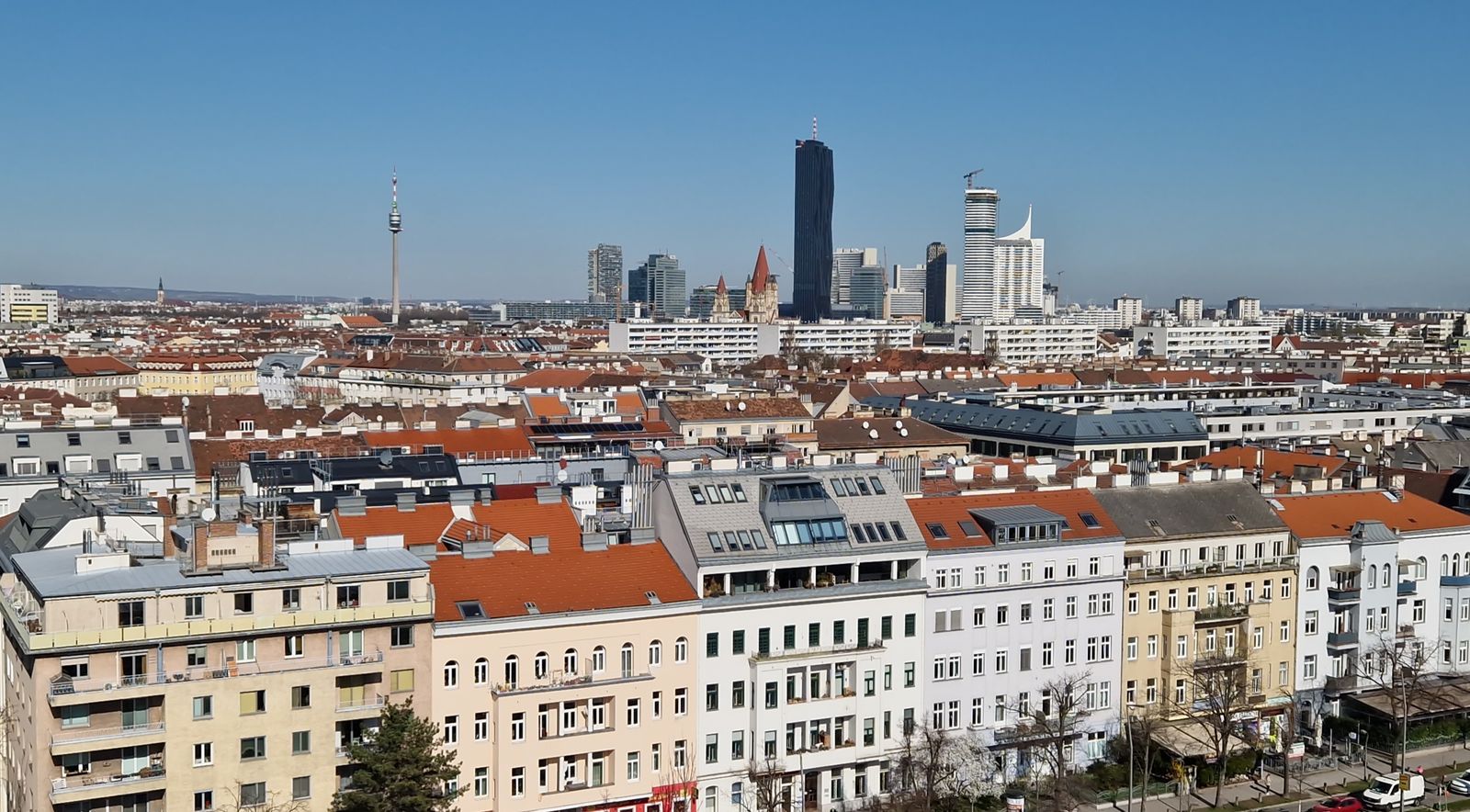
The useful question is not only “what are the rules?” It is “what do I want the aerial view to show, and is that realistically possible at this place?”
That is why the strongest starting point is the exact location plus the creative goal. Once those are clear, the practical checks become far more relevant than generic assumptions about drones.
“Start with the location before you promise the shot.”See drone photography →
This is not a substitute for current official checks. It is a practical structure for thinking through the project properly before booking or promising deliverables.
The precise launch area and shooting area matter more than a general city name.
Restrictions, surrounding environment and specific location context can change the picture quickly.
Open air does not remove the need to consider take-off, landing or managed-property issues.
Aerial imagery should solve a communication problem, not just exist because a drone is available.
See when aerial imagery helps people understand a property, business or location more clearly.
Explore drone photography →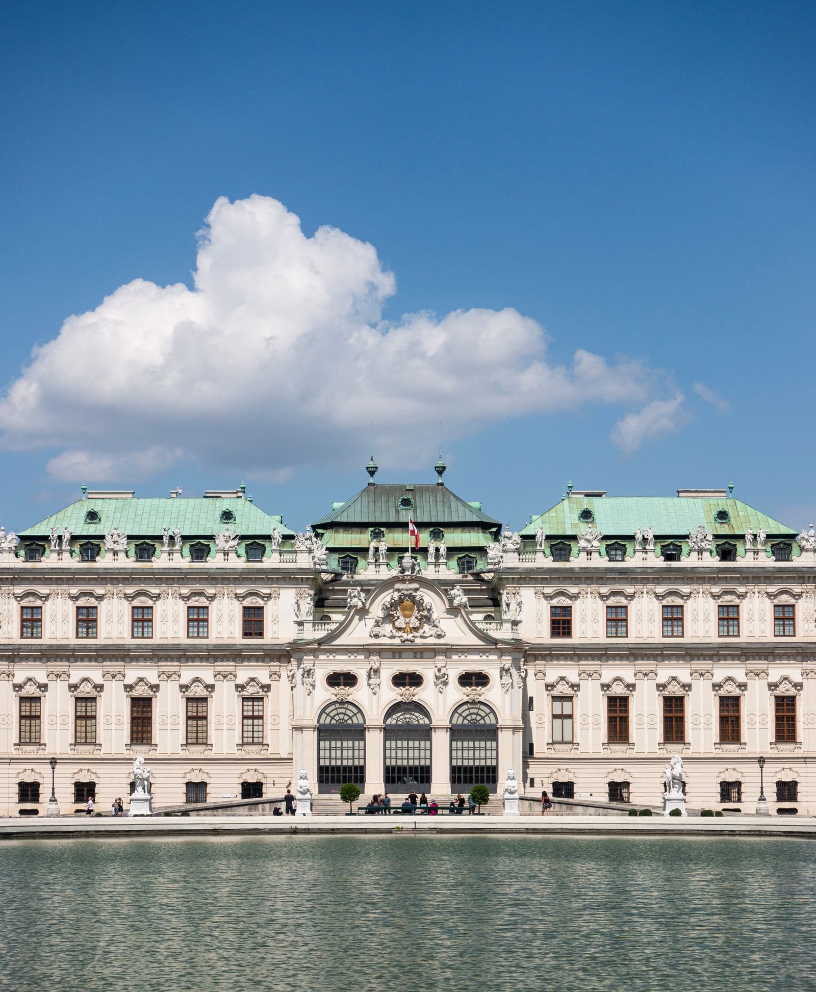
Some projects also require careful thinking about the location permission side, separately from aviation considerations.
Read the permit guide →These questions come up when people start thinking seriously about a real drone project in Vienna or elsewhere in Austria.
Yes. Airspace, local restrictions and the exact place of operation can change what is practical or allowed.
No. In many real projects, location access and property considerations matter as well as airspace rules.
No. An open-looking place may still involve restrictions, access limits or other issues that need checking.
Yes. For suitable projects, PixelFrame can use the location and intended use as the starting point for deciding whether aerial imagery is practical.
The shoot planner is a good way to begin if you already know the place and what you want viewers to understand from above.